Phase 2
In the Phase 2 of the S2GLC project the previously developed methodology (Phase 1) was adjusted and applied to map land cover on European continent. Due to the characteristics of the European landscape and LC databases used for training, the global way of proceeding has been modified. Intensive tests were carried out in selected test areas spread across Europe. Applications of different sets of spectral channels, classification features and sources of training data were tested as well as the method for selecting images for classification from a time series. Additionally the possibility of recognition of new land cover classes was verified by performing feasibility studies in nine test sites representing various bio-geographical regions of Europe.
Test sites
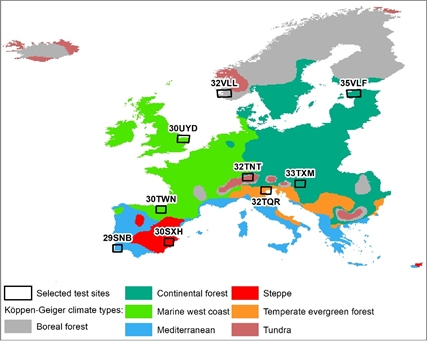
Map presents location of selected test sites. Within each bio-geographical region at least one tile has been selected combining information about Sentinel-2 data availability and number of classes occurring within.
Results
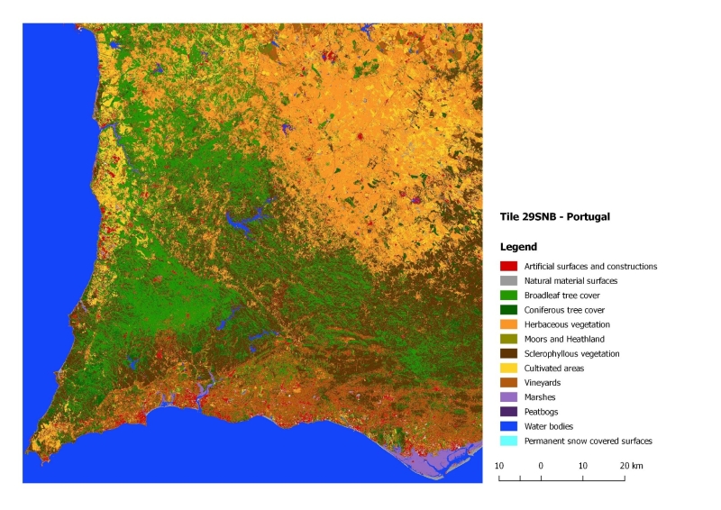
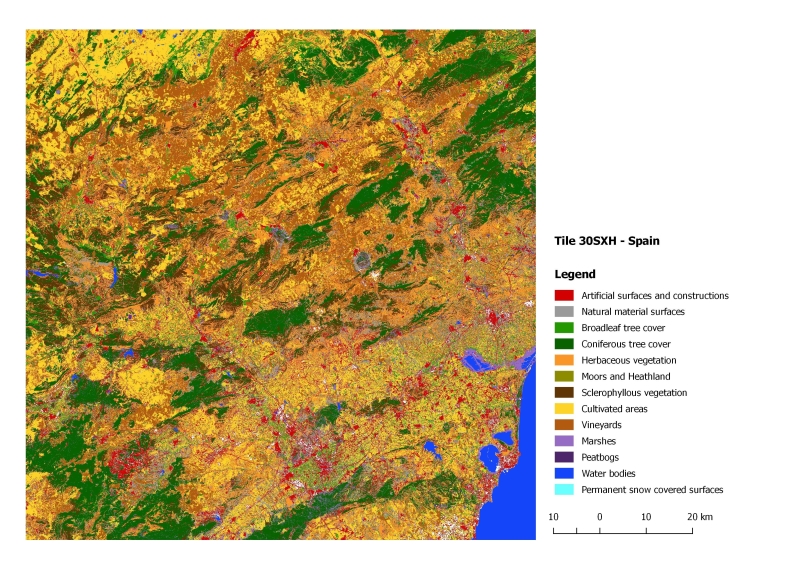
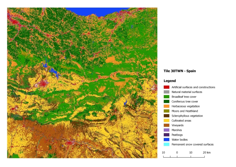
Land cover maps for test sites:
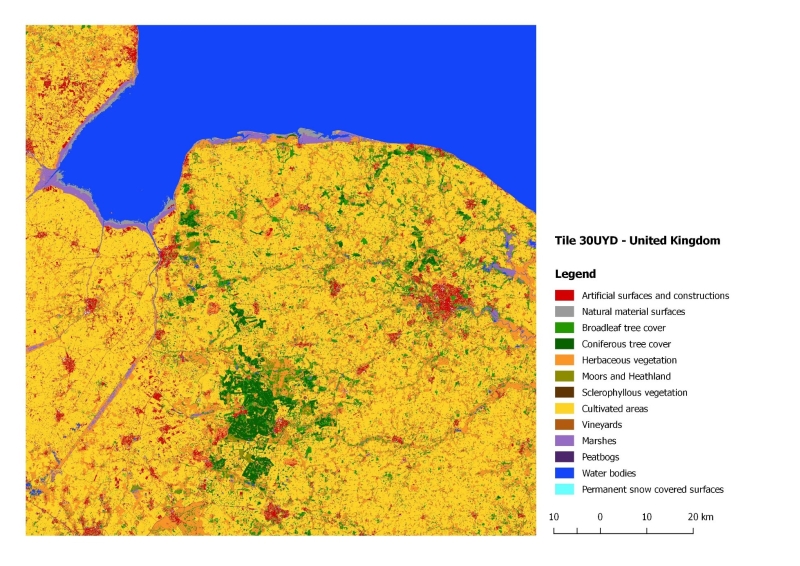
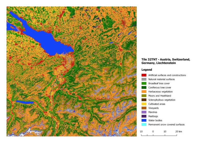
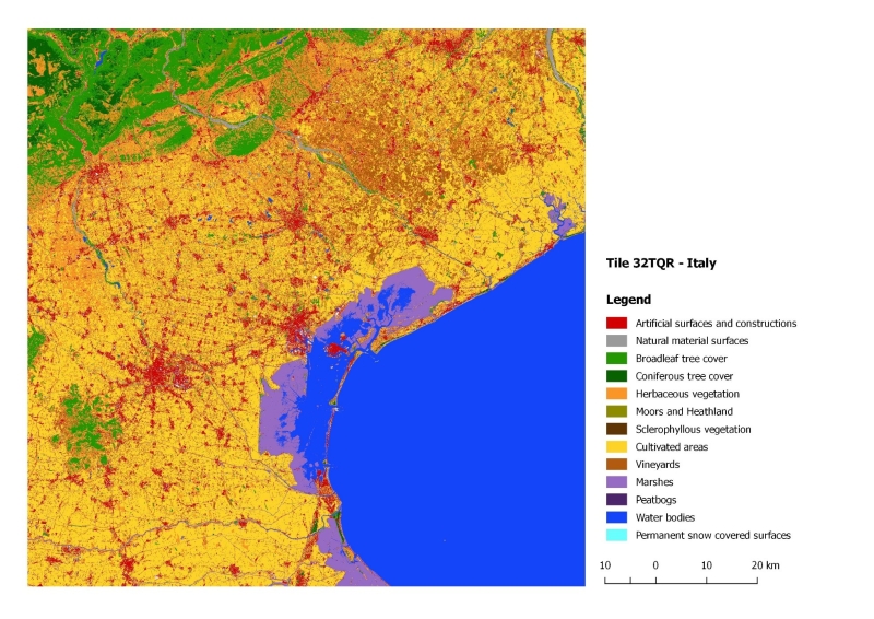
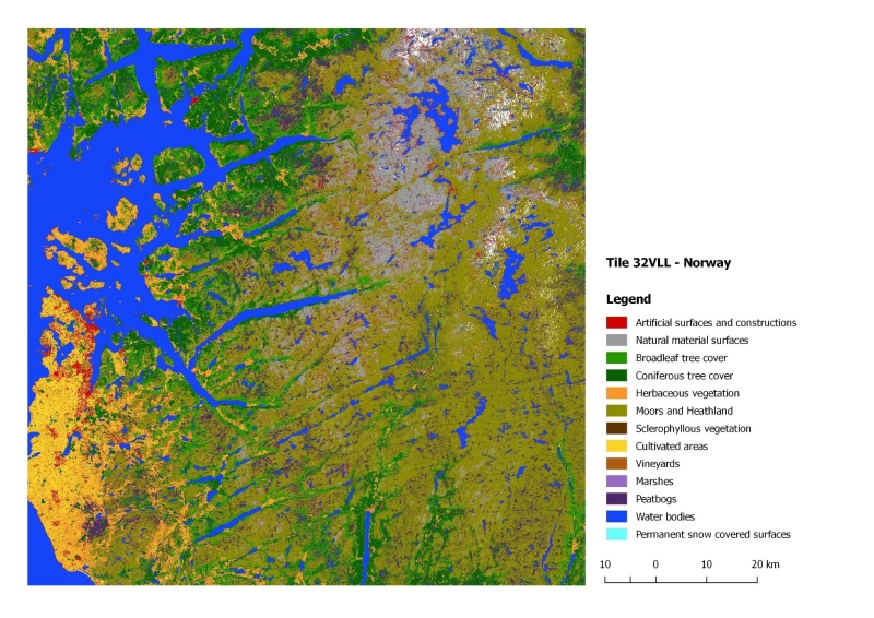
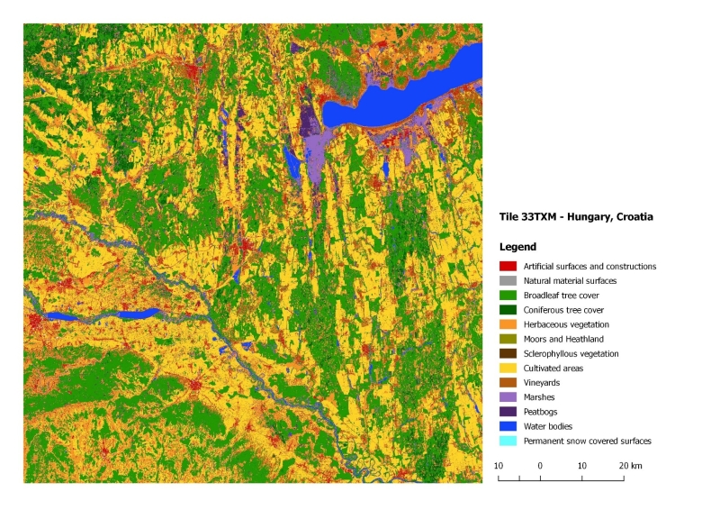
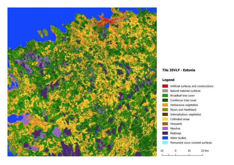
Validation
| 29SNB | 30SXH | 30TWN | 30UYD | 32TNT | 32TQR | 33TXM | 32VLL | 35VLF | |
|---|---|---|---|---|---|---|---|---|---|
| OA [%] | 75.5 | 62.1 | 81.8 | 95.4 | 81.8 | 88.9 | 87.2 | 77.6 | 88.4 |
The final result was Land Cover Map of Europe - LINK
Final report from Phase 2 - LINK